No highway embodies American sentimentality quite like Historic Route 66. Officially established in 1926, it stretched more than 2,400 miles from Chicago to Santa Monica Pier and was one of the earliest highways linking the Midwest to the West Coast. In his 1939 Pulitzer Prize-winning novel, “The Grapes of Wrath,” John Steinbeck called it the “Mother Road,” symbolizing hope and opportunity for dispossessed farm workers during the Great Depression. Passing through some of the American West's most scenic and iconic landscapes, it also served as a vital supply route for the U.S. Military during World War II. After the war, it earned the nickname “Main Street of America,” paving the way for the golden age of American automobile travel. The interstate highway system we know now has all but replaced the original road that wove through rural towns lined with diners, gas stations, and local merchant shops. Except for one section in Northwestern Arizona, where the last remaining continuous stretch of Historic Route 66 lives on. Our ride begins there.
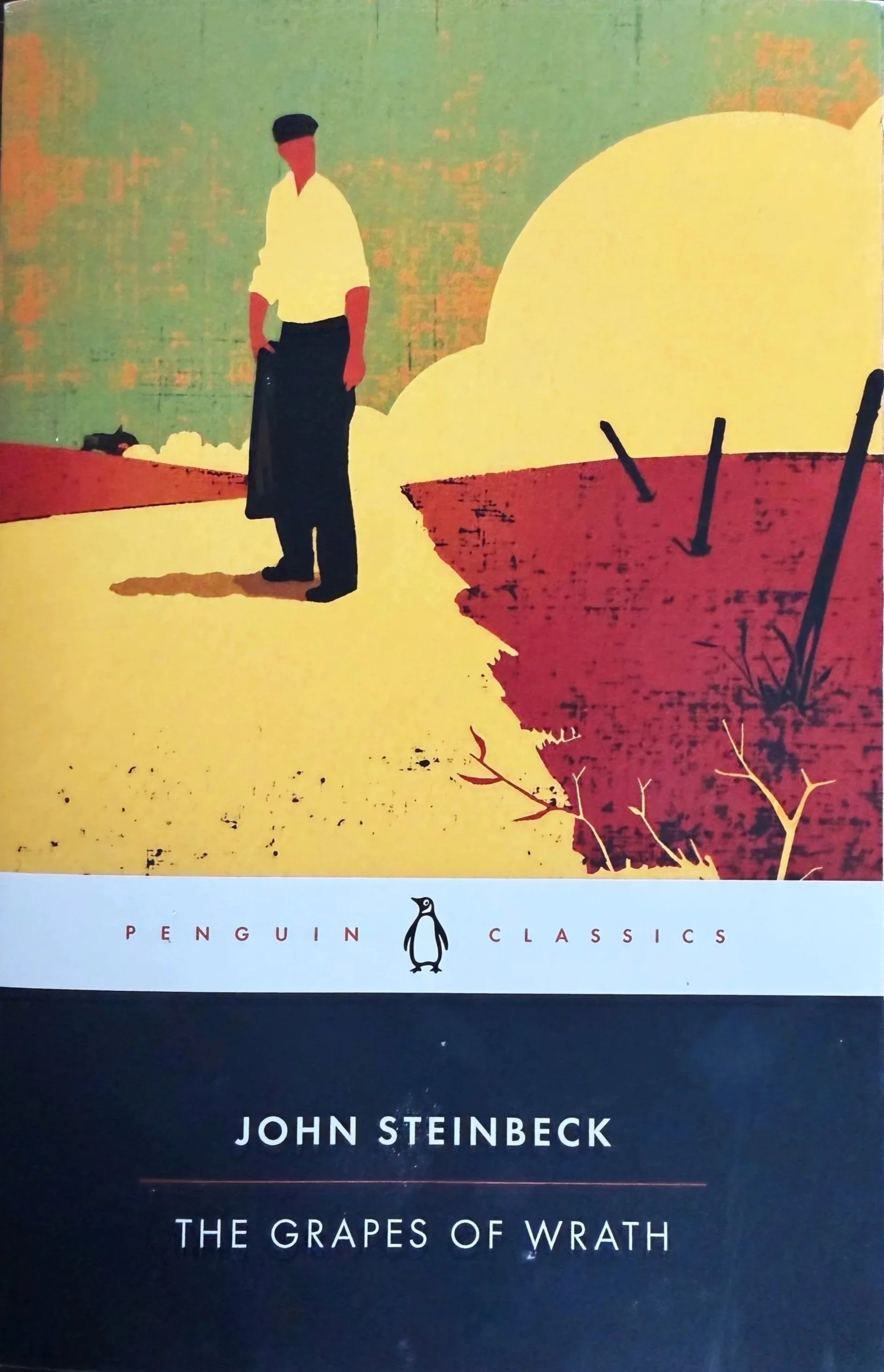
Steinbeck’s Depression-era classic narrates the Joads’ family journey from Oklahoma to California in search of better conditions. The 1930s Dust Bowl brought severe drought across the Great Plains, destroying crops and ultimately the livelihoods of thousands of farmworkers. In a region where pioneers settled after the Civil War, these communities had no choice but to migrate west. U.S. Route 66 was the shortest, most direct route, and it carried the Joad family on their long trek in a modified Hudson Super-Six, from a passenger car into a truck. The trip was not easy and took roughly 5 to 6 weeks. The fictional Joad family story was inspired by events of the 1930s. Its relatable connection made “The Grapes of Wrath” a bestseller and helped put Route 66 on the map, both culturally and figuratively.
We start out on this route with a short detour to an all-but-abandoned concrete bridge just outside the small town of Ash Fork. A historical landmark, the Gold Bridge stands as proof of Route 66's century-old history. From Interstate 40 (exit 139), follow Old Highway 66 east for 3 miles to the bridge. The road is a rough patchwork of gravel and broken pavement, with roaming cattle, pronghorn, and a wild horse rescue that cares for displaced herds in the area. After a few miles, you’ll reach a modest bridge with faded Route 66 markings on the railings. On the other side of the bridge, the road disappears into the rolling hills - leading nowhere. The bridge, still standing in peaceful surroundings, marks the start of this route.
From Gold Bridge, head back the way you came in and cross Interstate 40 to the start of the longest remaining continuous stretch of Historic Route 66. A large sign posted on the left side of the roadway commemorates the historic designation after it was decommissioned in 1985. Continue west on a remote corridor that cuts through wide-open pastures and traces the Burlington Northern Santa Fe (BNSF) Railway to the south, once a main transcontinental line. On this stretch, you’ll notice vintage replica “Burma Shave” signs along the roadside. Burma Shave was a Minnesota shaving cream company popular in the 1920s. The company placed road signs along Route 66 in northwest Arizona to promote the product until the 1960s. Today, the Arizona Department of Transportation preserves them with catchy phrases to promote safe driving. Messages like “Cattle crossing… means go slow… that old bull… is some cow's beau… Burma-Shave”.
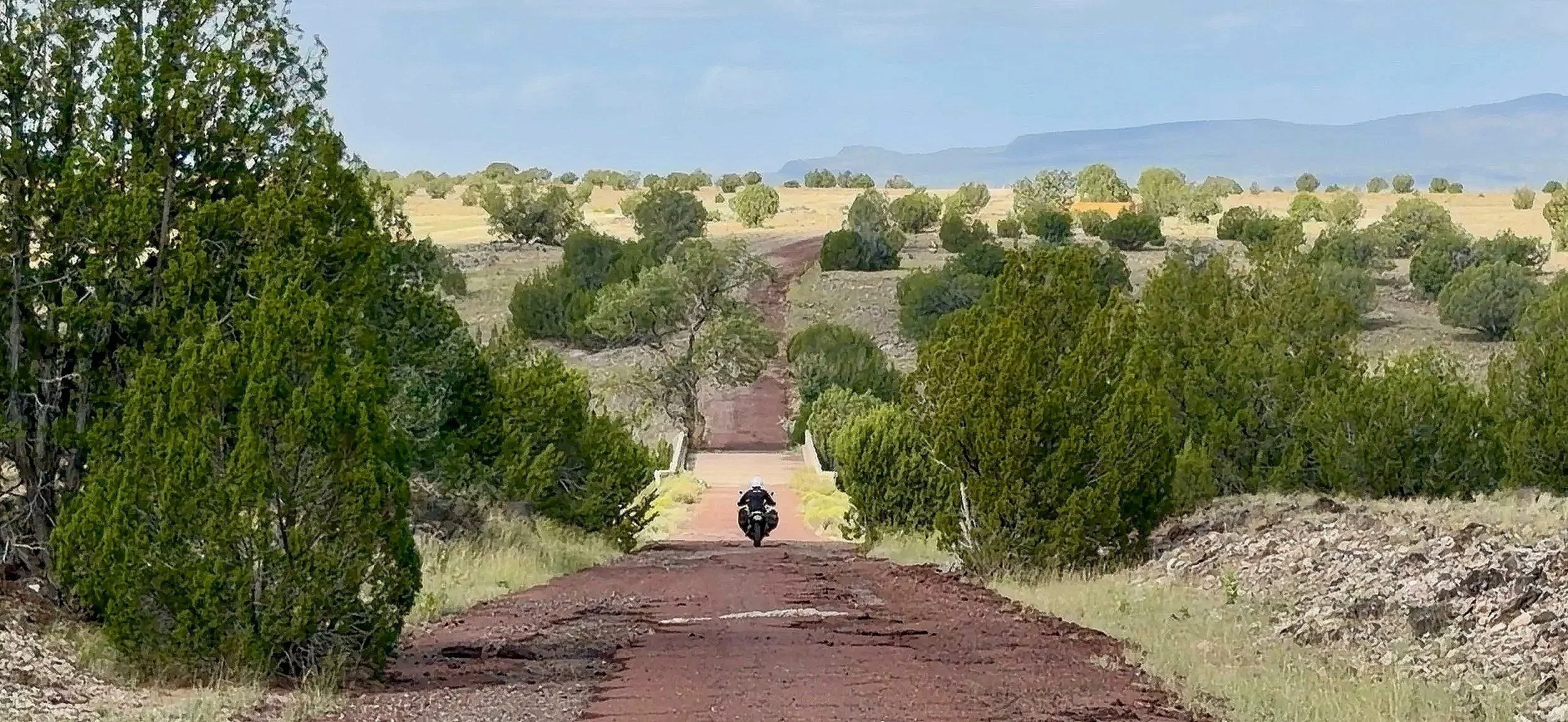
Historic Gold Bridge on Route 66 - 35°21'84.7"N 112°53'83.8"W
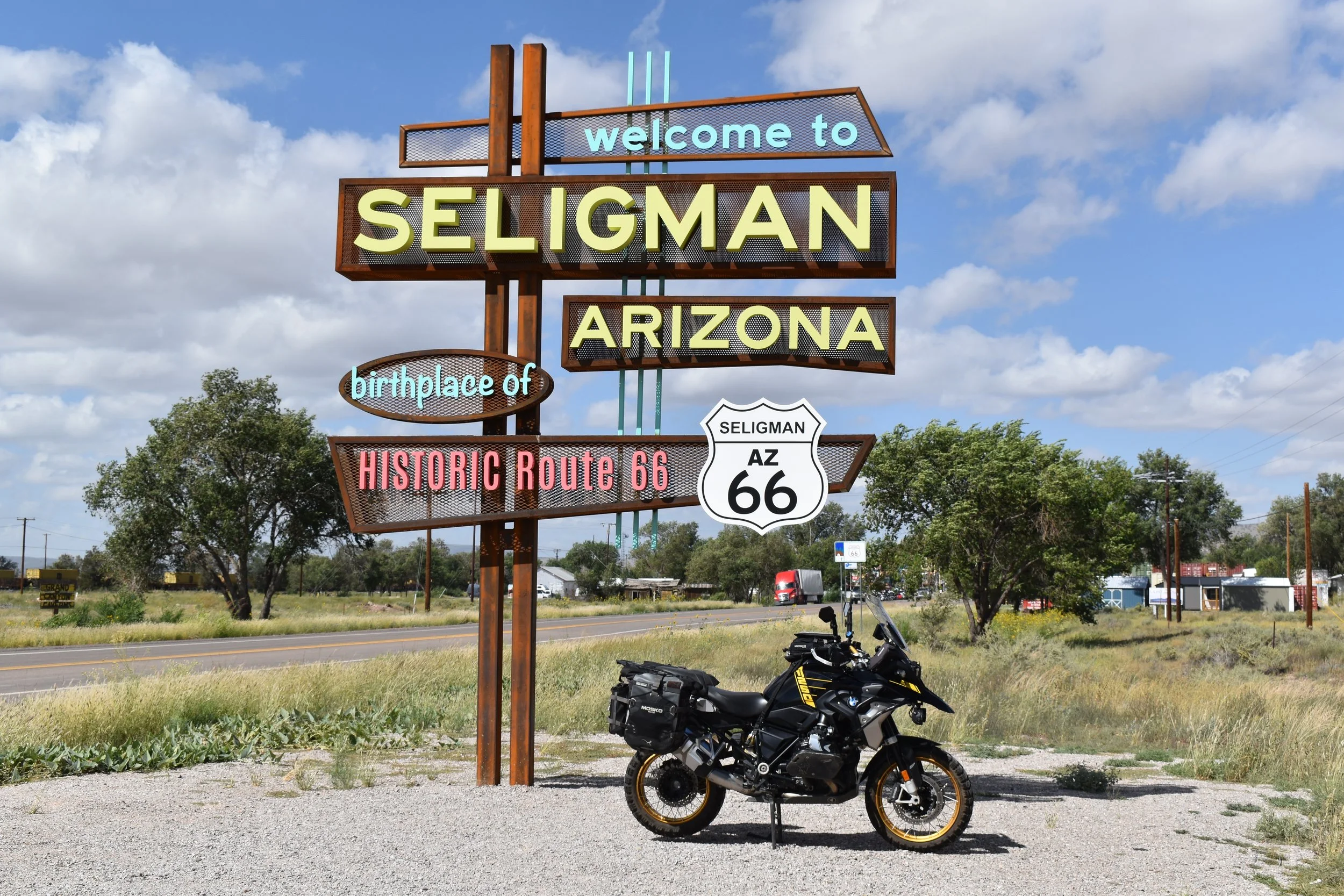
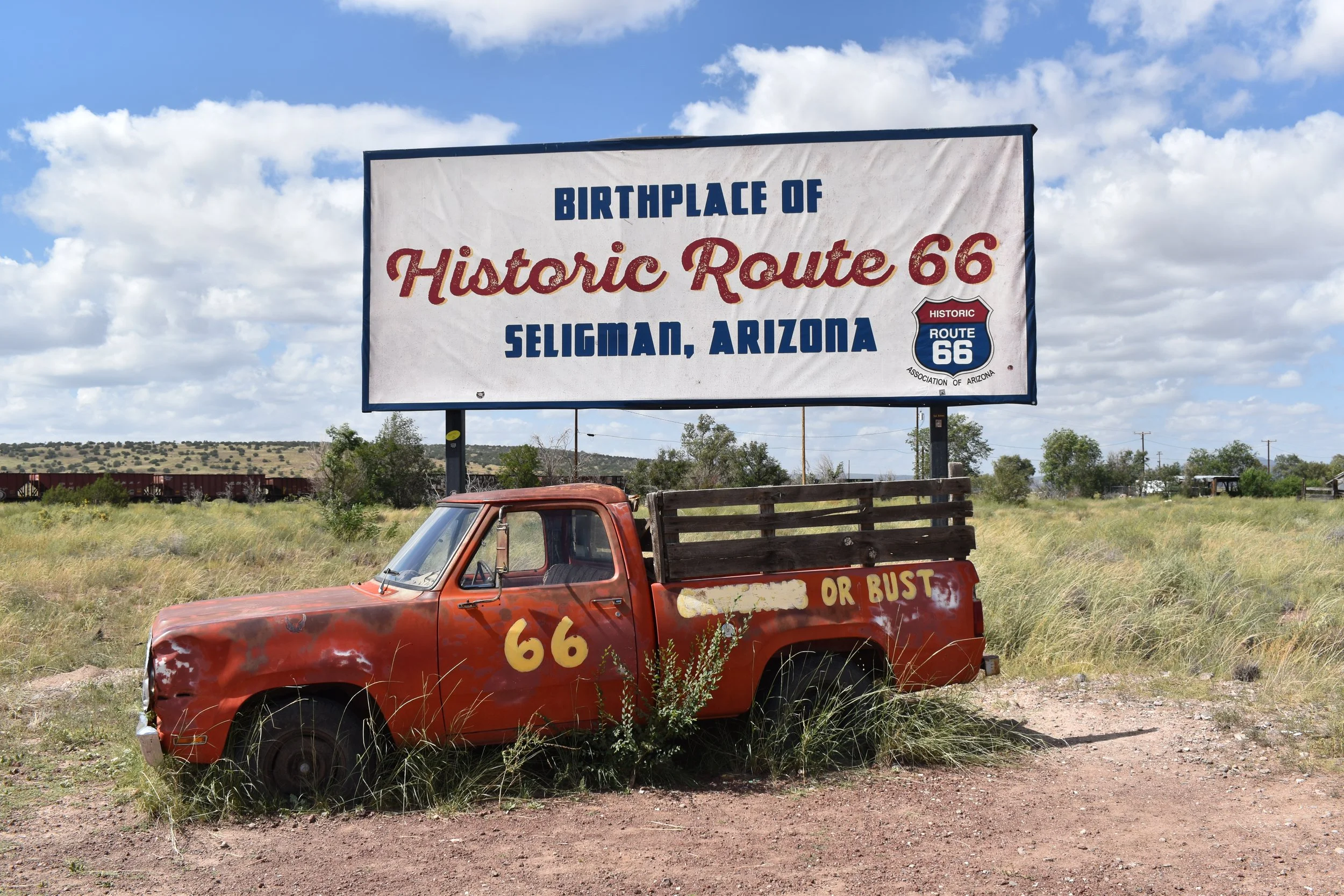
At the 21-mile mark, you’ll reach Seligman. It's the birthplace of Historic Route 66, thanks to local barber Angel Delgadillo, who led a movement to designate the road as historic in 1987. The town has a classic mid-century charm with vintage cars parked along the roadside in front of colorful diners and shops. It is like you stepped back in time to the 1950s. After the road passes through town, it opens back up into the rural high-desert countryside with long-range views. The two-lane highway ahead begins to bend north. At the 58-mile mark is Peach Springs, the capital and heart of the Hualapai Tribal Nation. The reservation covers over 1,000 square miles of terrain, including rolling grassland, thick forests, and rugged canyons along the Grand Canyon and Colorado River. The Hualapai, meaning "People of the Tall Pines”, also own and operate Grand Canyon West, home to the Grand Canyon Skywalk, a 70-foot-long, glass-bottomed, horseshoe-shaped bridge that extends over the canyon’s edge.
From Peach Springs, the road turns south through Truxton Canyon and the ghost town of Valentine, where a local Bureau of Indian Affairs office is located. The agency provides government and land-management services to local Native American tribes. The premises also includes an old two-story boarding school listed on the National Register of Historic Places. Truxton Canyon Training School was established in 1903 when U.S. government policy sought to remove native children from their communities for forced assimilation. It operated until 1937, when it permanently closed. The Hualapai Tribe plans to restore the building to serve as a community center. Although it is currently closed to the public, walking through the quiet, desolate grounds gives you an overwhelming sense of a very different time in our country’s history.
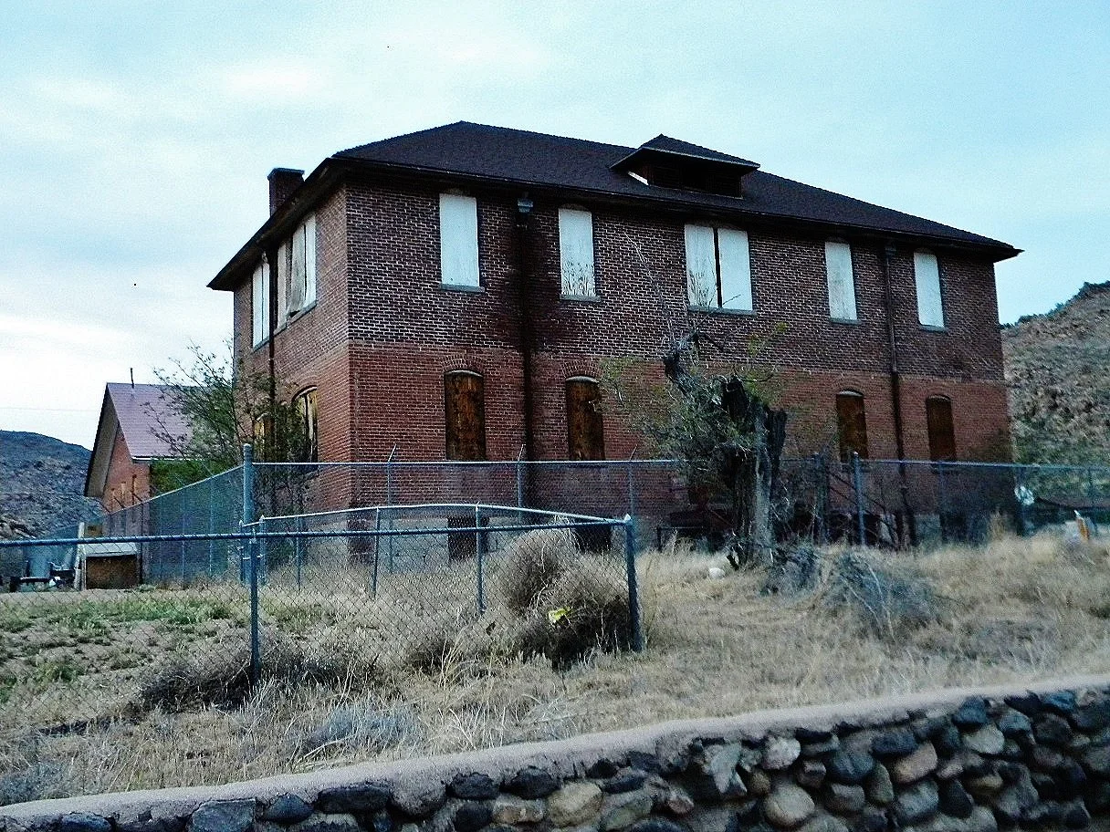
Schoolhouse at Truxton Canyon Training School Photo credit: Jon Roanhaus via Wikimedia Commons
The next 5 miles bring you to another homage to Route 66's heyday: Hackberry General Store. Located in an old mining town, it is a popular tourist stop with a retro gas-station look, old fuel pumps, and classic vehicles like a Ford Model T parked out front. The store originally opened in 1934 and is as iconic as Route 66 itself. After taking in the abundance of memorabilia inside, the final 30 miles of the route lead to the railroad town of Kingman. Before reaching the city limits, you’ll notice the Cerbat Mountains to the north. They have a distinct wilderness look to them and are home to one of only two protected wild horse herds in Arizona. According to the Bureau of Land Management, roughly 70 Cerbat wild horses roam free there and are believed to be descendants of Spanish Mustangs. For a closer look at the range's eastern edge, turn onto Crookton Road, a dirt trail off Route 66.
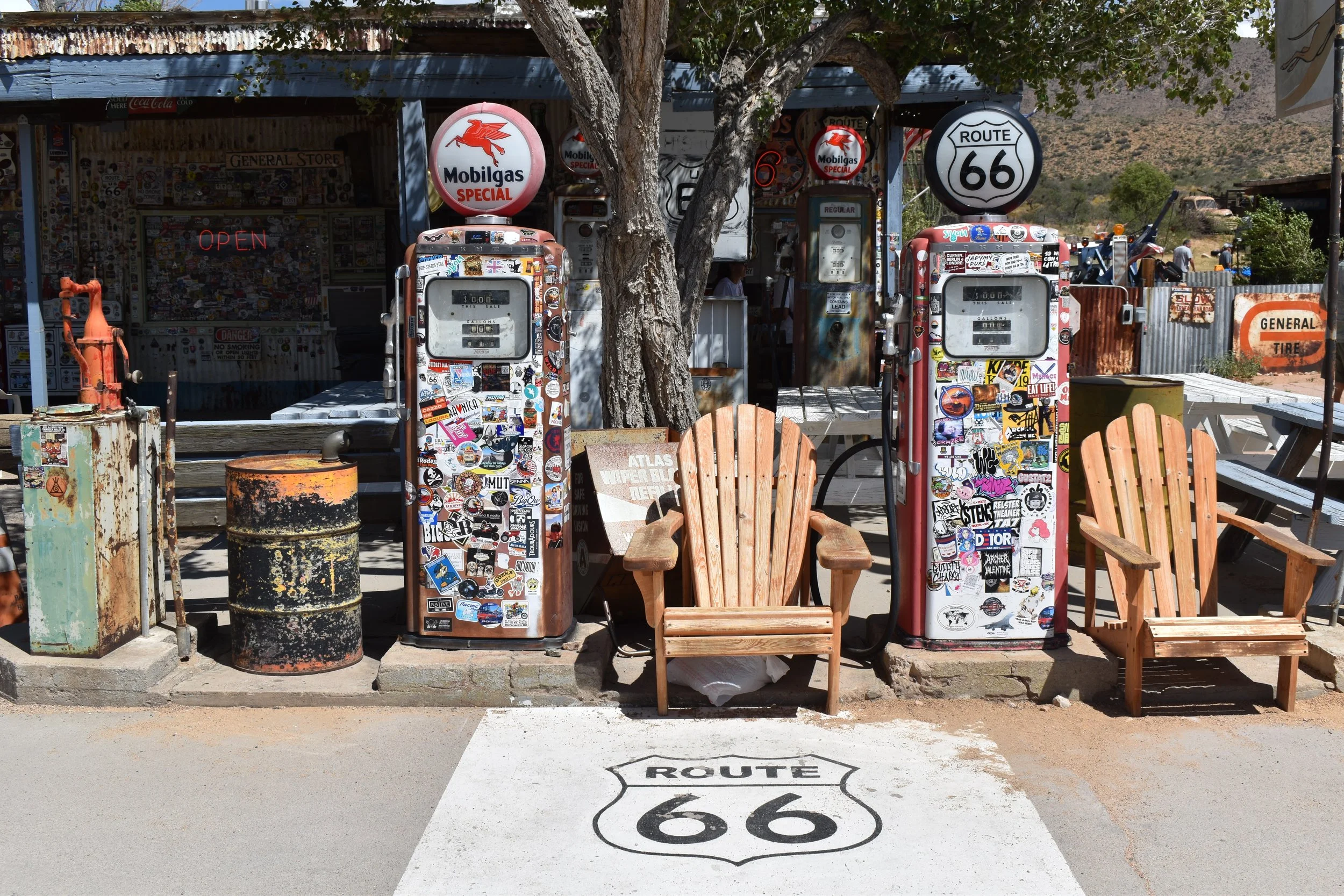
Hackberry General Store
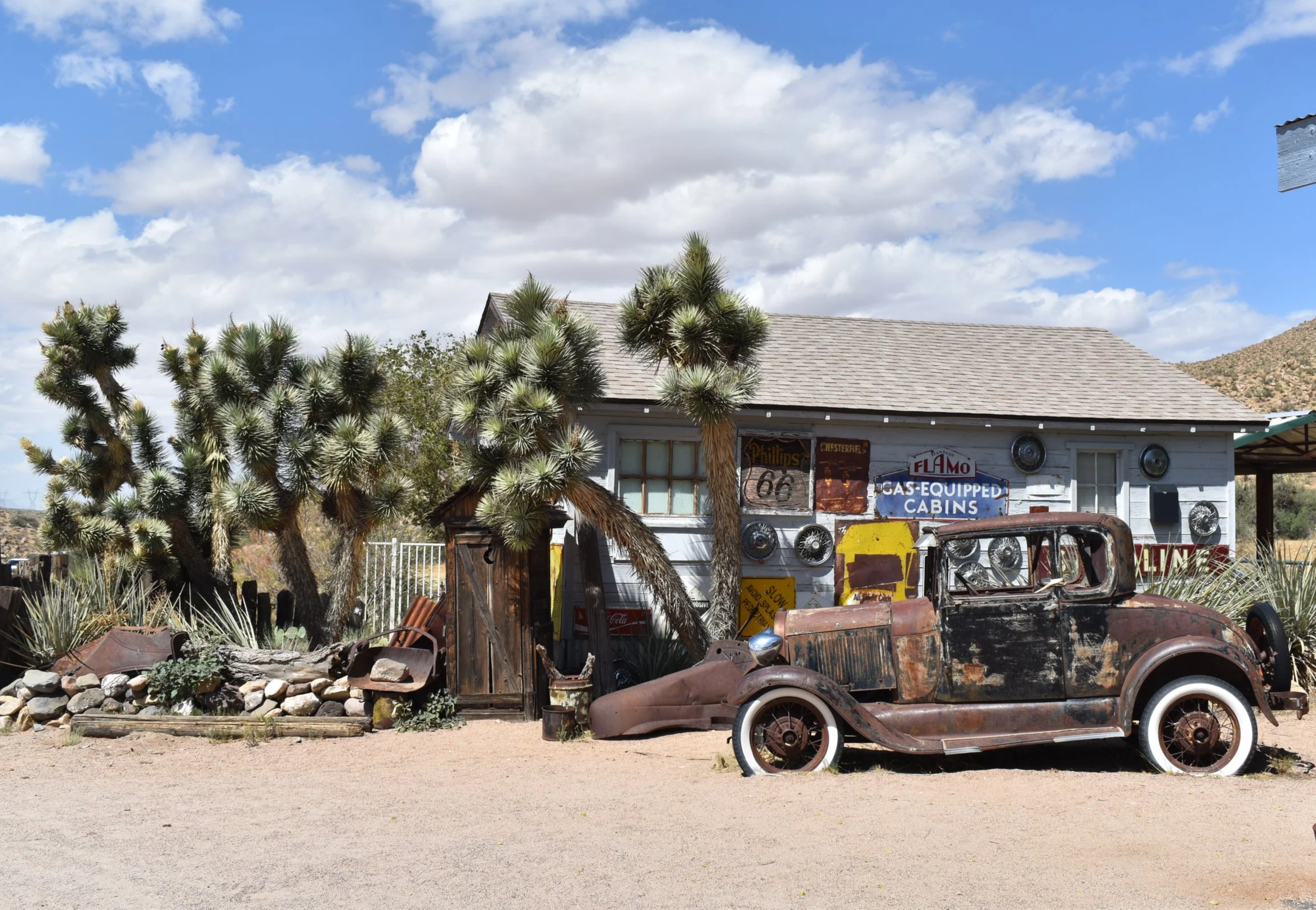
Hackberry General Store
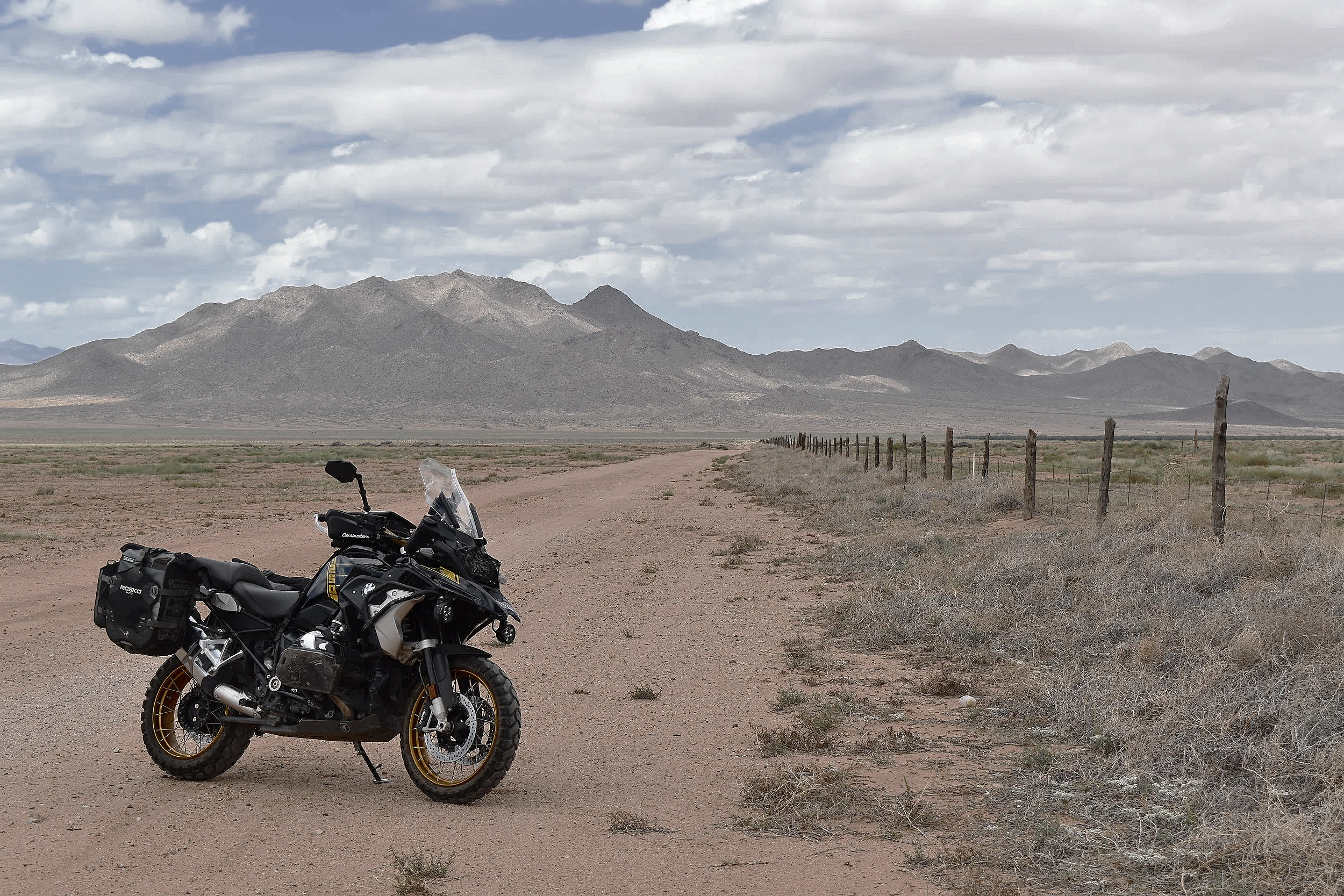
Cerbat Mountains from Crookton Road outside Kingman - 35°20'37.7"N 113°53'27.9"W
Next is Kingman, named for railroad engineer Lewis Kingman, who surveyed a railway for the Atchison, Topeka and Santa Fe Railway through the Arizona Territory in the late 1800s. Today, the BNSF mainline runs right through town. The city sits at a major junction of U.S. Route 93, which runs north-south, and Interstate 40, which runs east-west. An original Atlantic and Pacific Railroad town, Kingman served as a major logistics hub for the West since the late 19th century. As you make your way through town, you’ll reach Lewis Kingman Park on the right, which marks the end of the first part of Historic Route 66. Part 2 carries on via Oatman Highway to Topock, where the Arizona section of Historic Route 66 officially ends.
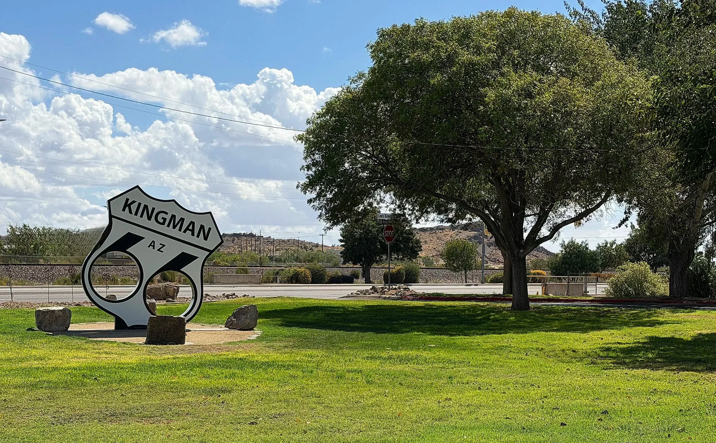
Lewis Kingman Park - 35°12'04.3" N, 114°01'32.5" W
This point-to-point route is 107 miles long, from the Historic Gold Bridge to Lewis Kingman Park. Elevation ranges from 5,821 feet to 3,251 feet. The best time to ride in this part of Arizona is from October to May. Summer brings monsoon storms, high temperatures, and unpredictable weather. Also be cautious in winter, especially December and January, for icy conditions and snow. Always check the forecast before heading out. The Mother Road tells a story beyond nostalgia or a classic novel. For many, its path brought optimism and hope; for others, hardship and adversity. For the rider, it can offer an opportunity for deep connection and reflection. By all accounts, it is a lost highway worth exploring when you have the chance. Enjoy the adventure and ride safe.
Disclaimer: Mileages are approximate. Each rider is responsible for checking the current road conditions and assessing their own skills to ensure safety. All routes are provided "as is" without any liability.
Note: The content of this logbook entry is original and not AI-written. It consists of my personal accounts after scouting the routes myself.
Copyright Protected © 2026 Lost Highways Moto LLC. All rights reserved.