The Coronado Trail
The Coronado Trail is far more than just a scenic highway; it is a centuries-old journey commemorating a historic expedition. Named for one of the first European explorations of the American Southwest, the path traces part of the original route crossing into Arizona territory from Mexico. Officially designated as a National Forest Scenic Byway, the Coronado Trail stretches 120 miles along U.S. Highway 191 in Eastern Arizona, connecting the high-elevation town of Springerville to the historic sister-mining communities of Morenci and Clifton. The Apache-Sitgreaves National Forests are on full display as you navigate through hundreds of sharp turns and several sweeping vistas. The ride is an unforgettable experience. Our story opens with a daring and ambitious expedition that occurred nearly half a millennium ago.
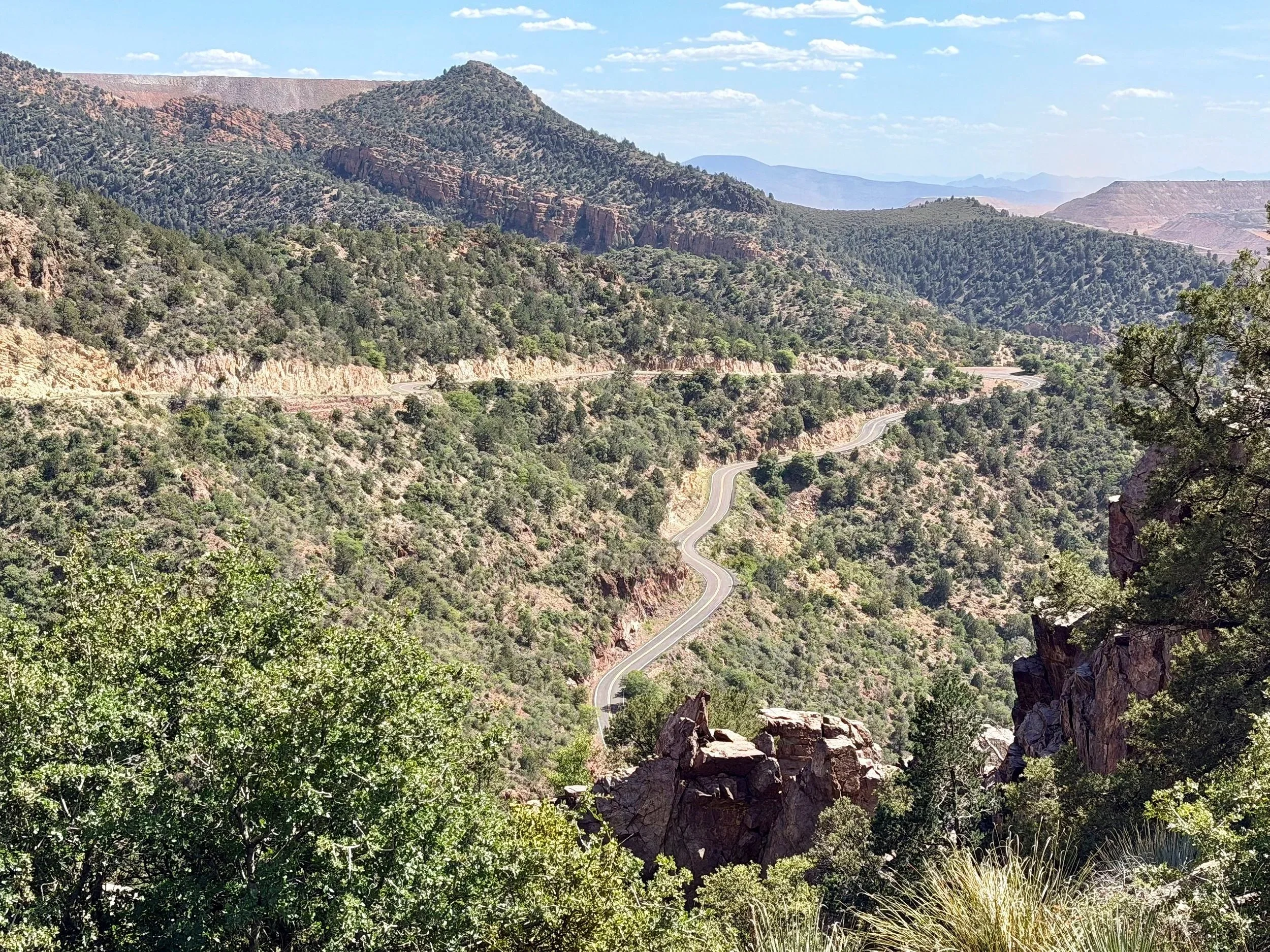
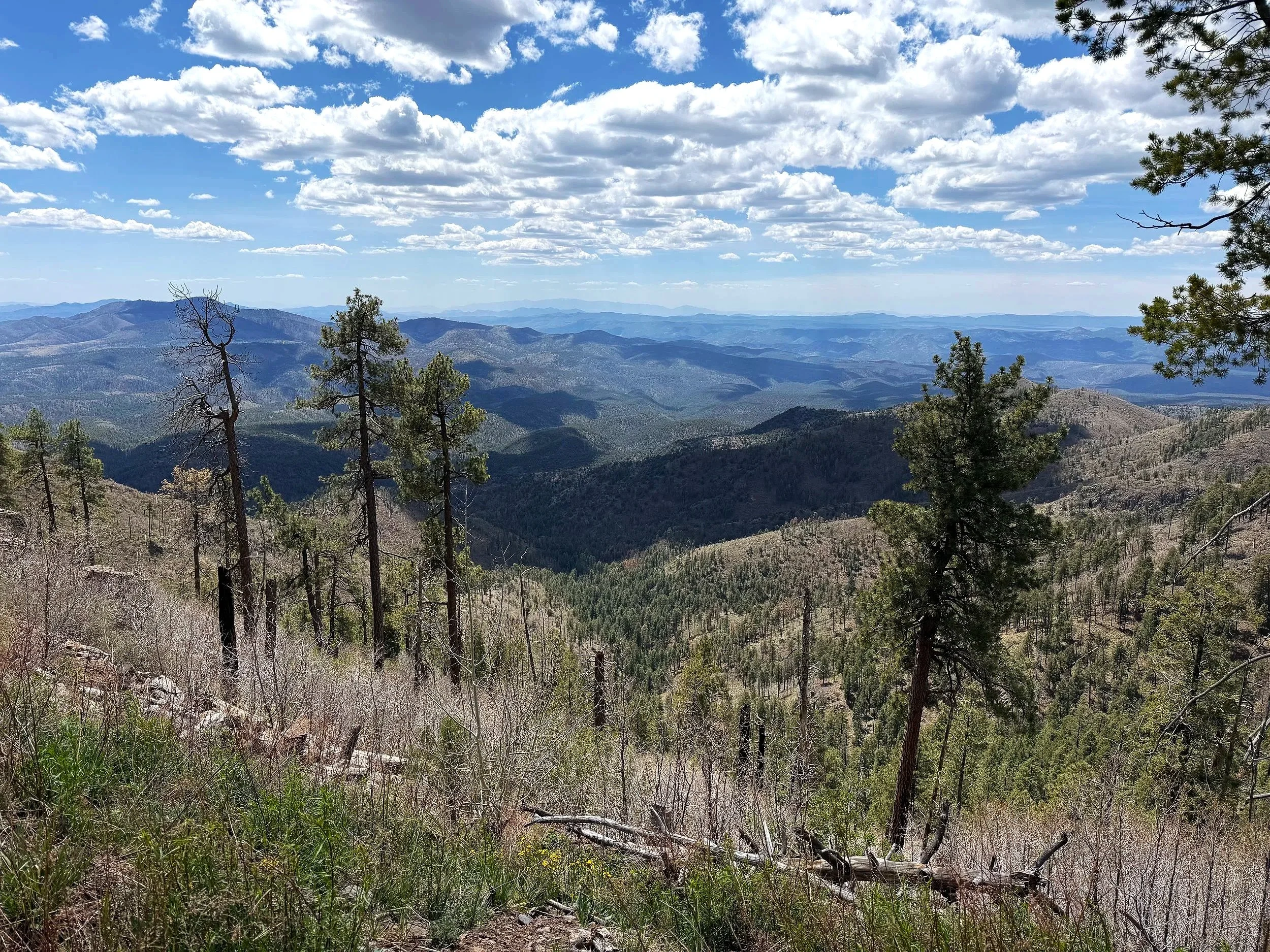
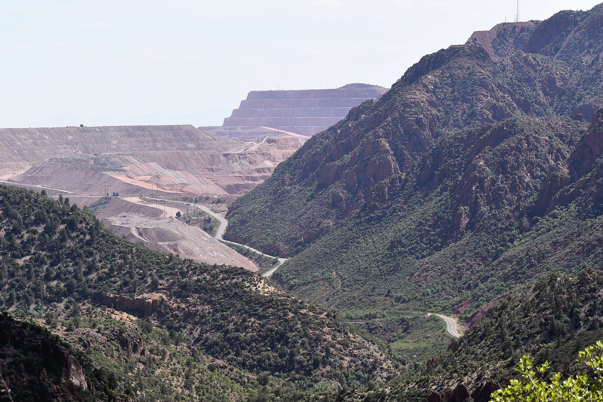
View of the Coronado Trail Scenic Byway from Chase Creek Overlook Observation Site
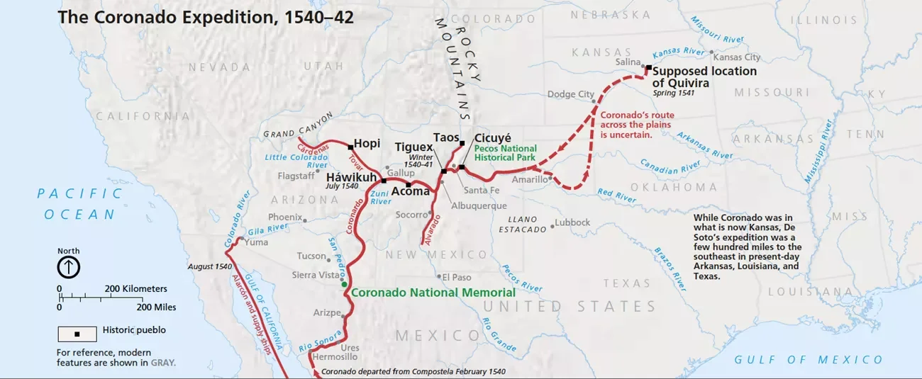
The history of the Coronado Trail begins with Francisco Vázquez de Coronado, a 16th-century Spanish conquistador who set out on an expedition to find the mythical, treasure-filled Seven Cities of Cibola. Coronado, accompanied by priests, Spanish soldiers, and indigenous allies, embarked on a quest into the unknown. Crossing over from Mexico into modern-day Arizona, they reached as far as present-day Kansas. It was a two-year trip that was widely considered a failure. However, many historians now view Coronado's journey as an invaluable revelation of geographic and cultural discovery - one that provided some of the first European descriptions of the Grand Canyon and Colorado River. Situated near the US-Mexico border, the Coronado National Memorial commemorates their historic arrival in Arizona, and the Coronado Trail follows in their footsteps.
Fast forward 400 years to when the Canada-to-Mexico Highway Association lobbied for a north-south transcontinental highway. What was Arizona State Route 81, connecting the US/Mexico border town of Douglas to Route 66, was reassigned the three-digit number 666, becoming a daughter route of the famous Mother Road. The new designation, with its biblical association to the "Number of the Beast”, led to its nickname “Devil’s Highway”. From then on, stories emerged from travelers of phantom hitchhiker sightings, hellhounds with yellow eyes, and paranormal activity. Widespread sign theft and high accident rates also added to the highway’s notorious and dangerous reputation. The state of Arizona renamed the highway to US-191 in 1992, and neighboring states to the north followed soon after. Today, the section between Clifton and Springerville is known as the Coronado Trail, though many still refer to it as the "Devil's Highway". Regardless of the name, this legendary route draws motorcyclists from across the country to challenge its endless hairpin turns and immerse themselves in its epic scenery.
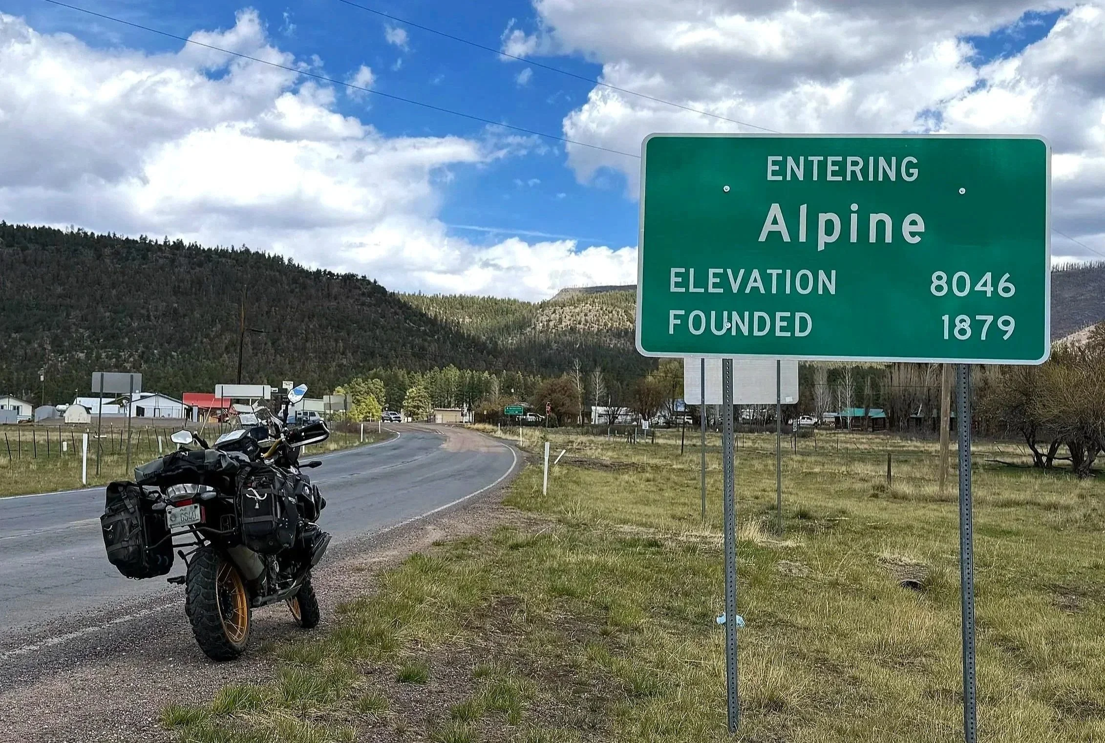
The route starts at 7,000 feet in the town of Springerville. Referred to as the “Gateway to the White Mountains”, Springerville is located in a high-mountain basin called Round Valley. The first section is easy going as you make your way into the Apache-Sitgreaves National Forests on a road lined with fir, pine, and aspen groves. After 27 miles, you’ll reach the town of Alpine, otherwise known as the “Swiss Alps of Arizona”. Alpine is the last fuel stop for the next 100 miles, so be sure to check your gauge and top up on fuel if needed. Heading south from Alpine, the remote wilderness begins right away. Be aware that large herds of elk often congregate in the open meadows near the side of the road, especially during dusk. At the 50-mile mark, you'll find Hannigan Meadows Lodge, a historic landmark overlooking the Hannigan Meadow. Established in 1926, the lodge was originally built to serve travelers making the two-day trip along the Clifton-to-Springerville Highway, a single-lane dirt road back then.
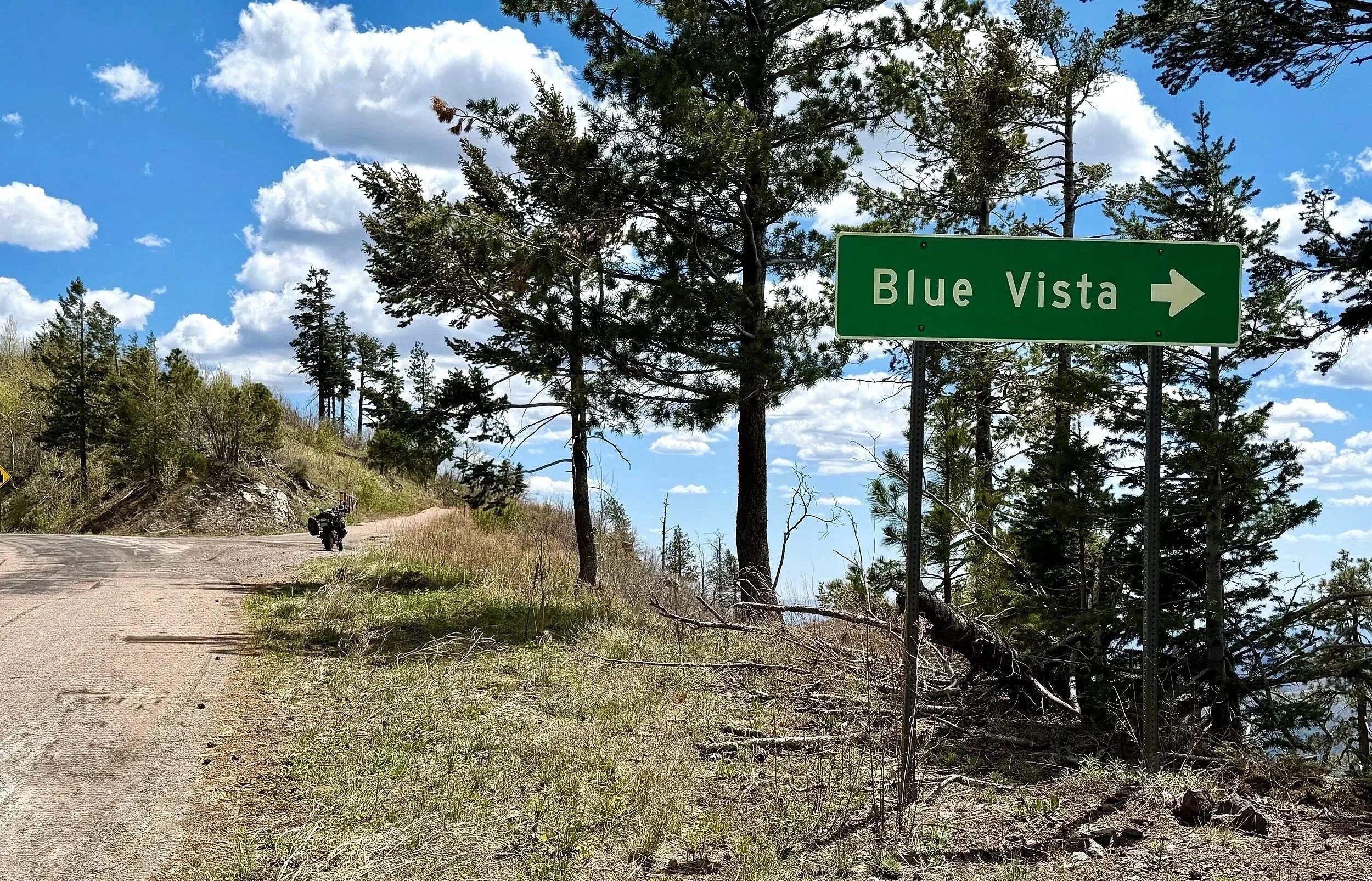
A short distance further, at the 57-mile mark, located on the edge of the Mogollon Rim, is the Blue Vista Scenic Overlook. At an elevation of 9,200 feet, Blue Vista provides spectacular views of the "Sky Islands" mountain ranges in Southeastern Arizona. Follow the mountainside dirt trail for a panoramic outlook of the Blue Range Primitive Area. Continuing south on the Coronado Trail is where the twisty pavement takes hold. At the 79-mile mark is Red Mountain Overlook Observation Site, another scenic viewpoint well worth the pull-over. From there, the technical curves begin to mellow, and the landscape opens up into expansive, high-elevation pastures. Seemingly out of place, this remote section offers long-range views across open grasslands flanked by rolling hills to the east and west. At mile 87, you will find a trailhead that connects to a back road leading to a water reservoir for both livestock and local wildlife. It is the perfect rest stop to grab some shade under one of the Emory Oak trees in the area.
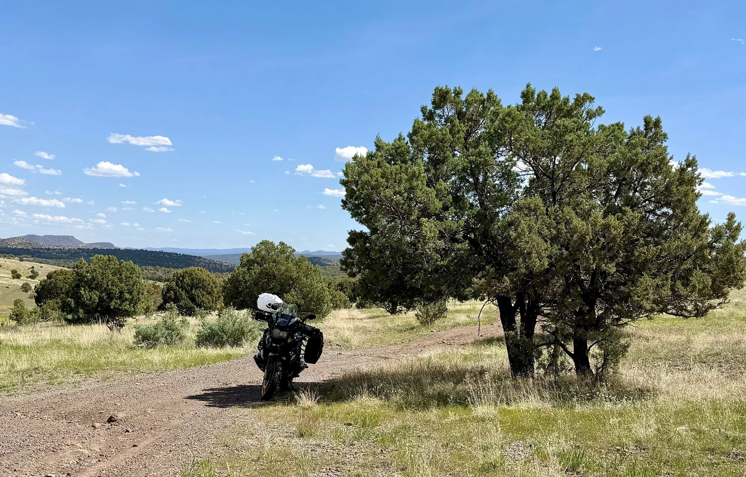
Trailhead at mile 87 - N 33° 18.5688 W 109° 21.0025
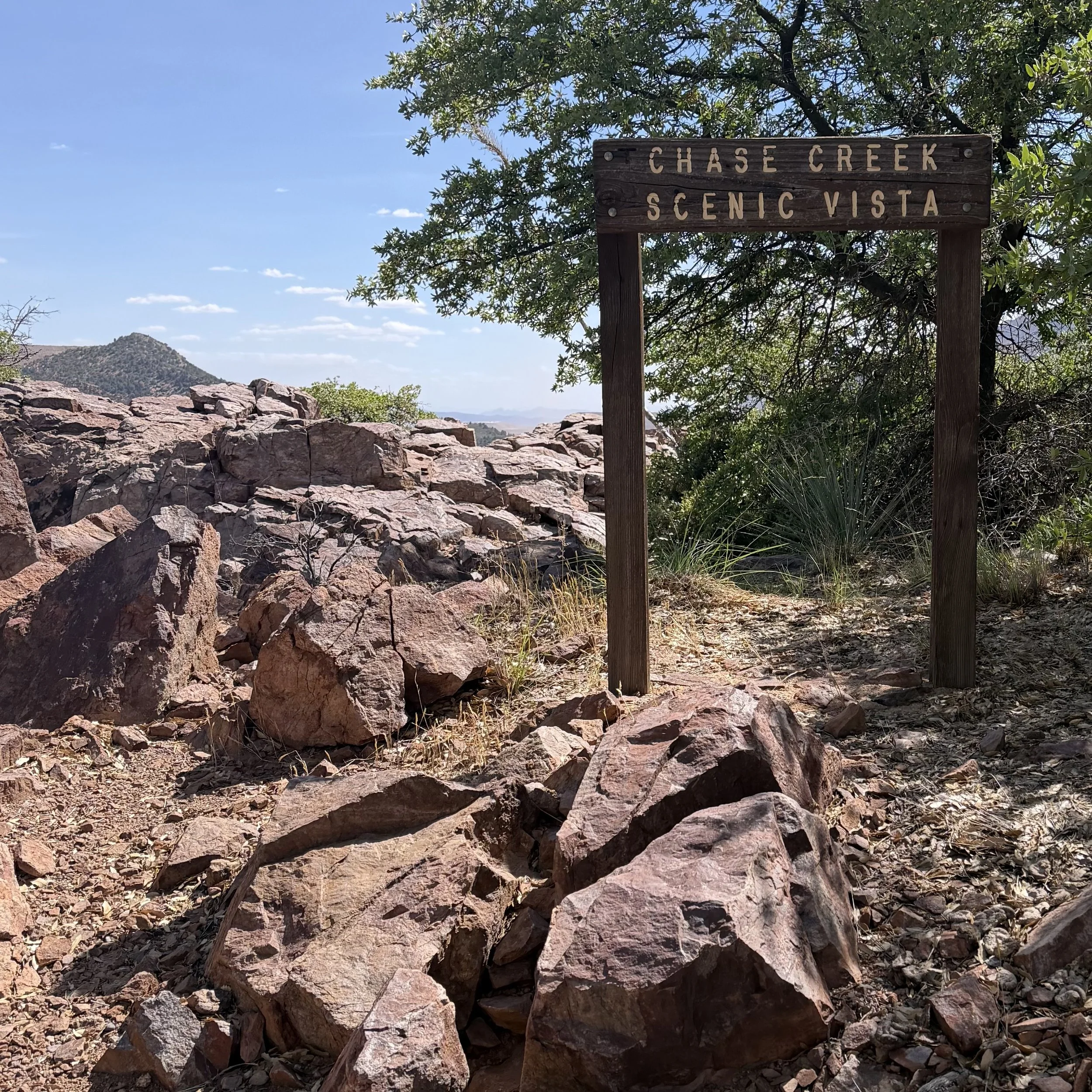
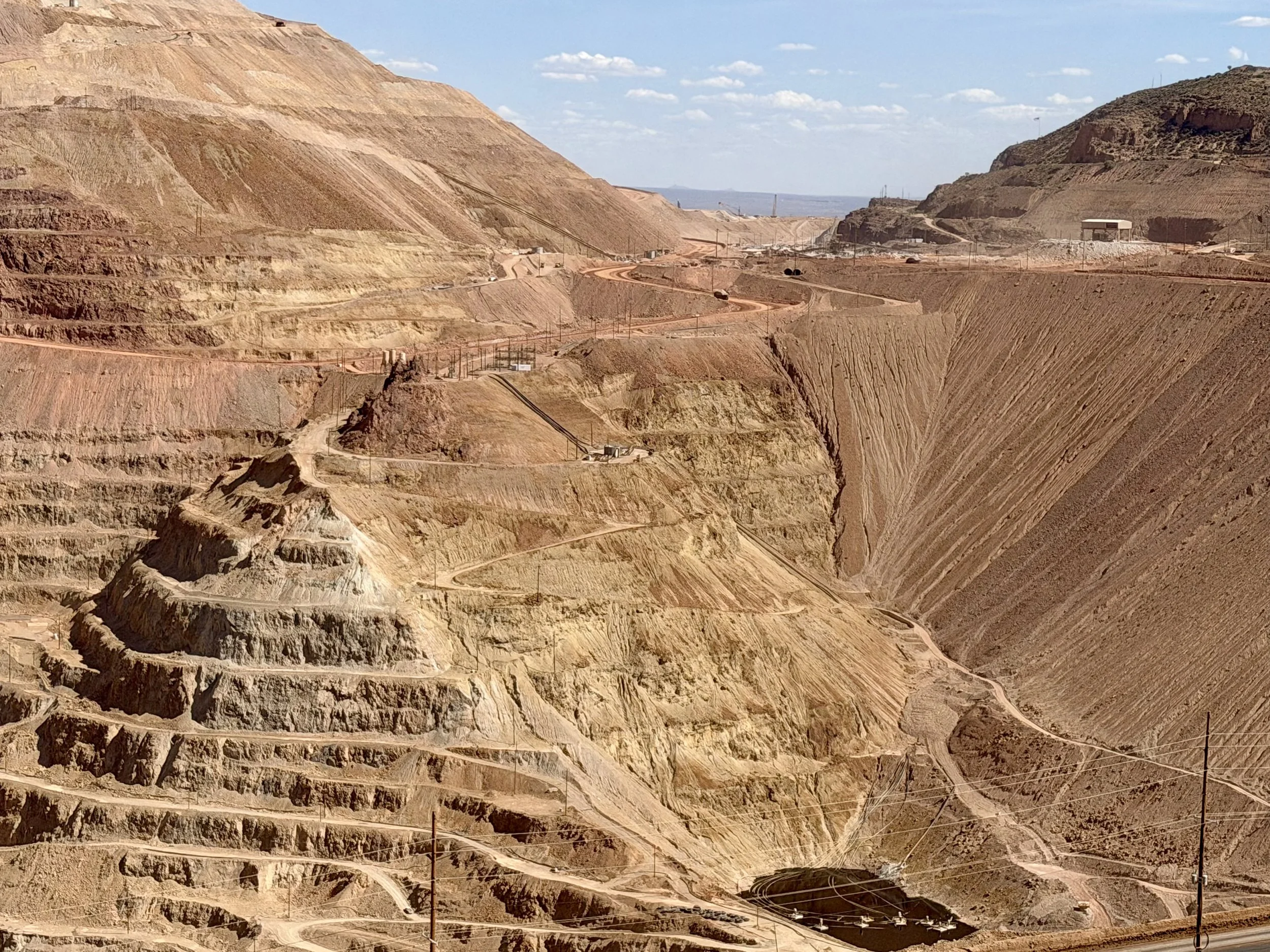
Back on Coronado Trail, keep heading south for the final 30-mile stretch. The twisty pavement returns as it switches back and forth in a dramatic descent to the sister mining towns of Morenci and Clifton. At the 103-mile mark is the Chase Creek Overlook Observation Site, a historical landmark that looks out on the Coronado Trail from above as it weaves toward the Morenci mine. One of the largest copper producers in North America, the Morenci mine is among the most expansive open-pit mines in the world. At the 110-mile mark, a roadside observation deck features informational storyboards that detail the massive heavy equipment used to extract these rare minerals from the earth. Morenci has a population of only 1,673 and is solely owned by Freeport-McMoRan Copper & Gold Inc. It exists primarily to support local mining and quarrying operations.
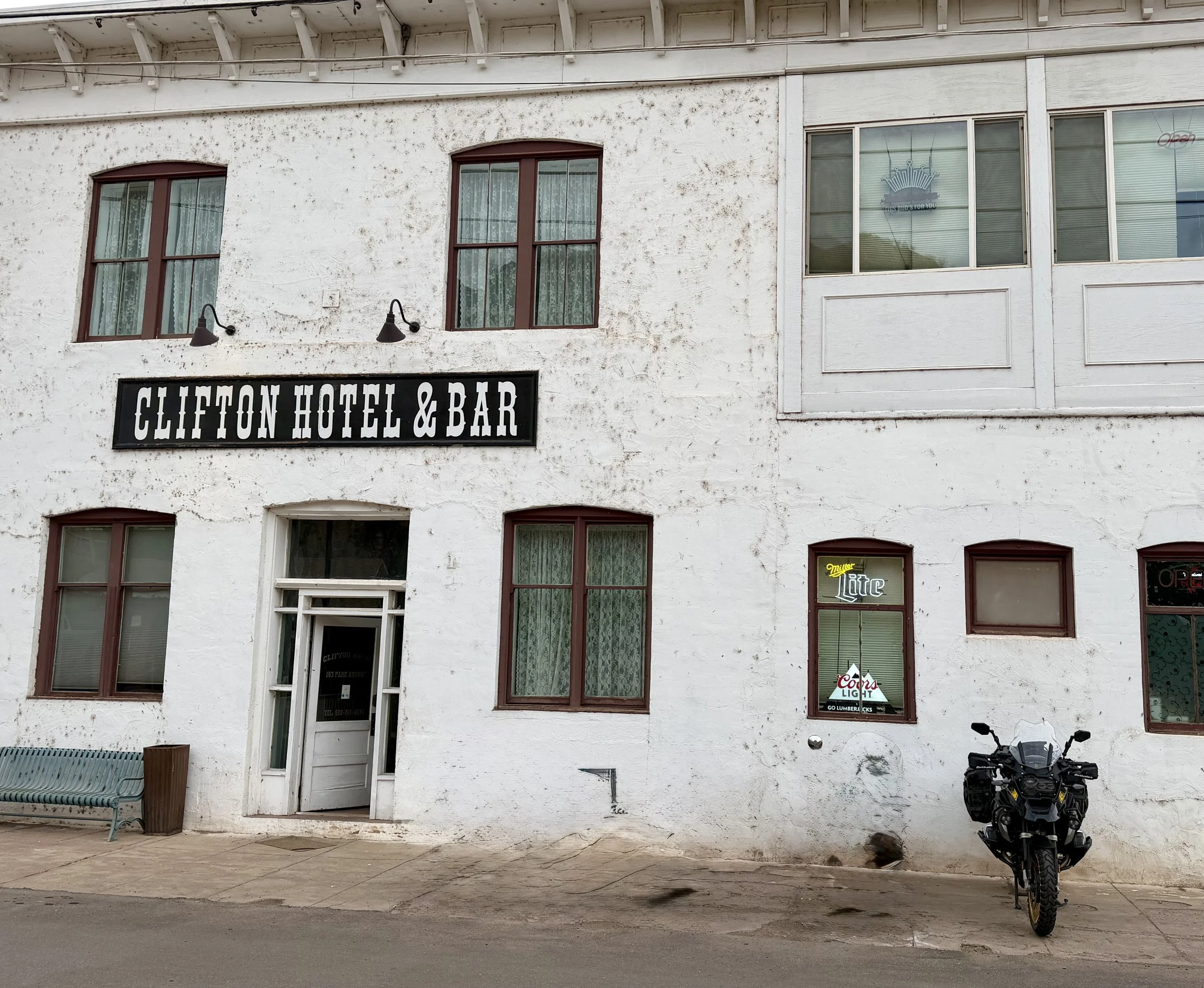
The final eight miles of the route lead to the town of Clifton, which is tucked into a canyon along the San Francisco River. Clifton is a small, quiet town that still holds onto that old-school mining vibe. As you ride into the Historic District, you’ll pass by the Clifton Historic Bridge. Constructed in 1918 with distinct steel trusses, this landmark was the only connection between the east and west sides of the community for decades. Several local businesses still operate on the other side of the bridge, most notably the Clifton Hotel and Bar. Originally established as a cowboy hotel, this beautifully renovated six-room hotel attracts historians, motorcyclists, and ghost hunting groups - some who claim the hotel is haunted.
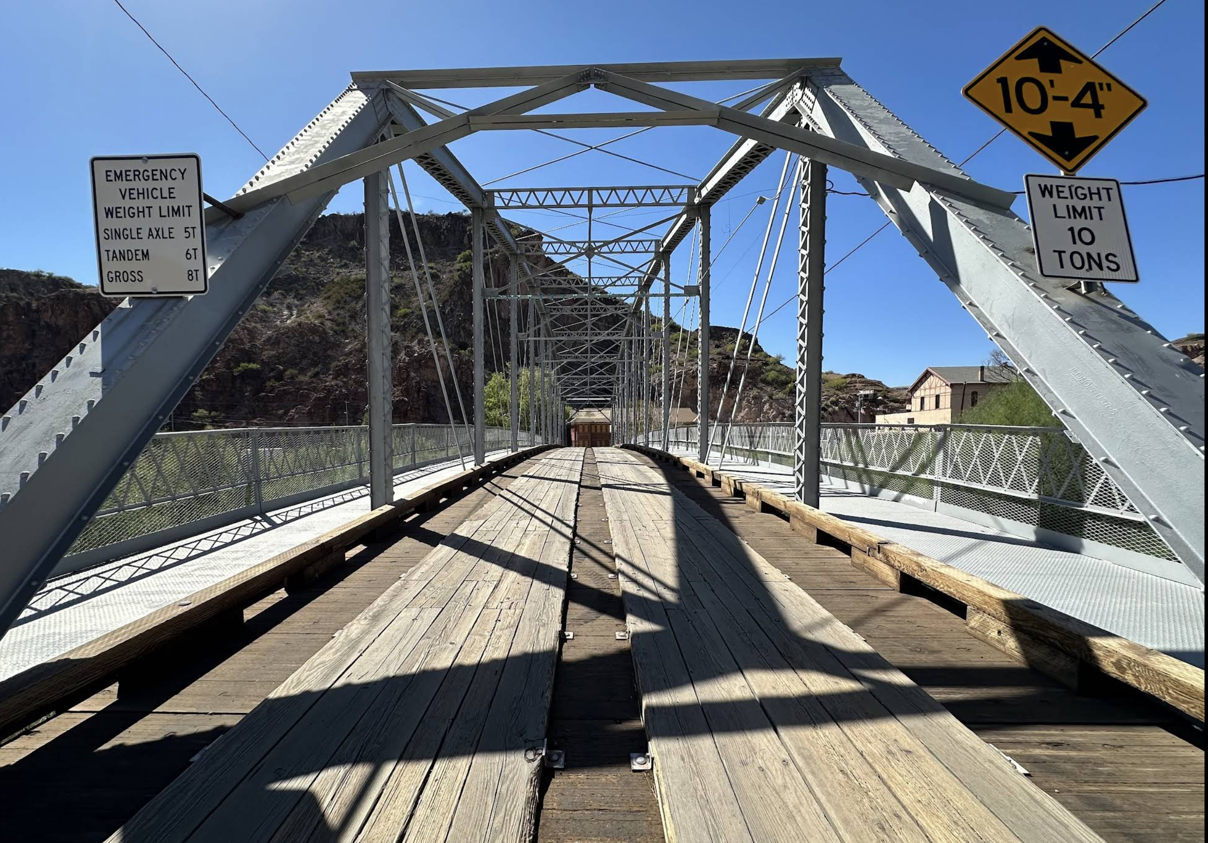
Clifton Historic Bridge
Spanning 120 miles in the mountains of Eastern Arizona, the Coronado Trail features a dramatic elevation profile that climbs to over 9,300 feet before descending to just under 3,500 feet. If you have more time in the day, head west from Clifton on Mule Creek Highway, into New Mexico, then north on Highway 180 back to Alpine for an incredible loop route. Or continue south on U.S. Highway 191 into southeastern Arizona to explore additional lost highways like Apache Pass Road, Pinery Canyon Road, and Geronimo Trail.
It isn’t the hundreds of hairpin turns, the mythical search for seven treasure-filled cities, or the notorious nickname that defines the Coronado Trail. Instead, it is the story of its origins that make it extraordinary. A route traveled centuries ago by expeditionaries into uncharted territory - a path through a remote wilderness. By discovering these spectacular landscapes and sharing them with a part of the world for the first time, they left behind a legacy that makes this passage more than just a highway; it represents a pivotal moment in history. That is what makes this a true lost highway. Enjoy the adventure (every mile of it) and ride safe.
Disclaimer: Mileages are approximate. Each rider is responsible for checking the current road conditions and assessing their own skills to ensure safety. All routes are provided "as is" without any liability.
Note: The content of this logbook entry is original and not AI-written. It consists of my personal accounts after scouting the routes myself.
Copyright Protected © 2026 Lost Highways LLC. All rights reserved.
